:D Düssel-Impressions
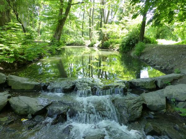
Düsseldorf has got its name from the small river called Düssel. A small
settlement was founded where the Düssel flowed into the river Rhine. It's
assumed that the name Düssel is based on the Germanic word thusila (to roar,
to rush). Today, this is no longer obvious because at least in the area of
Düsseldorf, the Düssel is mostly canalised. But there are still many places
where the Düssel delights the visitor, calmly flowing.
This cache will show you using a picture search where in Düsseldorf the
Northern Düssel and the Southern Düssel are flowing, both above the ground
and underground. You will be guided through various parks and to other
interesting places.

The tour is about 30 km in total and designed for cyclists. You are following
mostly paved paths close to the Düssel which are usually labeled as bicycle or
foot paths. You can do the tour on foot as well, but in particular in the
central area you have to follow longer sections of pavements.
Before starting with the exploration of the Düssel, you have to
solve a puzzle
to get the collage with the objects you are looking for. Once the puzzle has
been solved, you will find numbers which help you find the start coordinates.
The geochecker will contain a link to a PDF file, the original picture to print,
a track with all waypoints for the tour and instructions with additional
information.
The tour starts at:
N 51° [1/1][6/4].[4/4][2/5][6/4]
E 006° [3/1][2/4-3/5].[7/4][1/1][4/4]

GENERAL REMARKS
There is no geocache to find at the listed coordinates. No
cache which is part of the :D series requires to trespass
rail tracks or highways. Caches located on private property
have been placed there with explicit permit of the owner.
If a riddle requires visiting third party websites or
downloading additional files, we guarantee that at the time
of publish, they don't contain any virus or harmful
software.
